 |
| A map of the surficial geology of Minneapolis and western St. Paul, from Winchell (1877). Note "Finn's Glen" at the end of Summit Avenue, today's Shadow Falls. Also note Bassett's Creek in Minneapolis, once a major waterway but now built over. Some now-defunct quarries and waterfalls are also marked. As far as I know, this and the other maps included here are the oldest published geologic maps for their respective areas. |
 |
| Small quarries of Platteville stone once dotted the Twin Cities. This is a fairly late example, pictured in Sardeson (1916). Kansan till refers to a now-obsolete system of glacial episodes |
 |
| Bedrock geology of Ramsey County, from Winchell (1878). Again, the Trenton is the Platteville and Decorah. |
 |
| The Brickyard a century ago (Sardeson 1916); the "shaly limestone" would probably today be classified as the transition to the Cummingsville Formation. Note the High Bridge in the background. |
 |
| St. Anthony Falls, 1916. The view is slightly different today. |
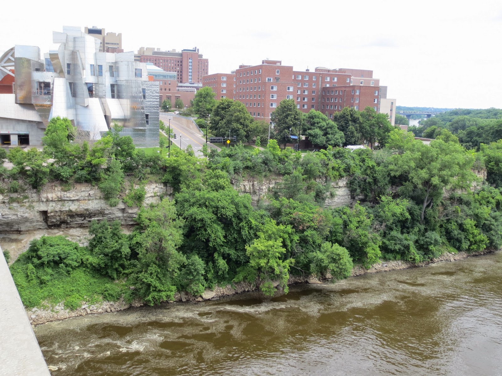
Finally, a self-indulgent series of the University of Minnesota near the Washington Avenue Bridge, from, in order, Sardeson (1916), Stauffer and Thiel (1931), Stauffer and Thiel (1941), and your host (2013).
References:
Sardeson, F. W. 1916. Minneapolis–St. Paul folio. Folio 201. U.S. Geological Survey, Washington, D.C.
Stauffer, C. R., and G. A. Thiel. 1933. The limestones and marls of Minnesota. Bulletin 23. Minnesota Geological Survey, St. Paul, Minnesota.
Stauffer, C. R., and G. A. Thiel. 1941. The Paleozoic and related rocks of southeastern Minnesota. Bulletin 29. Minnesota Geological Survey, St. Paul, Minnesota.
Winchell, N. H. 1877. The geology of Hennepin County. Minnesota Geological Survey, St. Paul, Minnesota. Annual Report 5:131–201.
Winchell, N. H. 1878. The geology of Ramsey County. Minnesota Geological Survey, St. Paul, Minnesota. Annual Report 6:66–92.


No comments:
Post a Comment